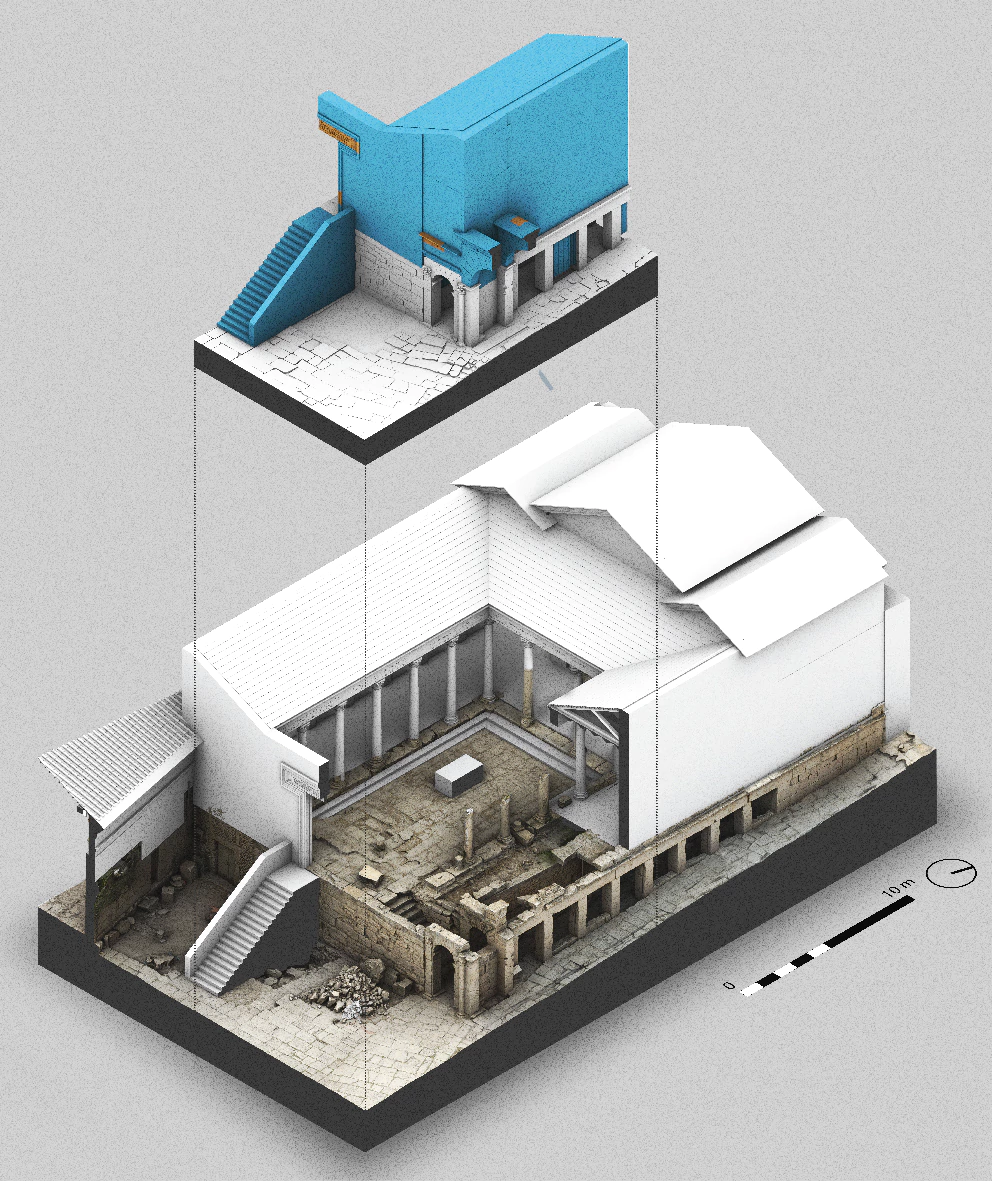
12 The temple of Fortuna Augusta - Musti sanctuaries in architectural reconstructions
MUSTI DIGITAL integrates measurement data, historical sources, and research results in a three-dimensional digital environment that enables management and information visualization.
This approach is based on three aspects.
COLLECTING
The digital environment is a three-dimensional representation of the Musti architectural survey. The model was created with iPad LiDAR scans combined with UAV and full-frame camera photogrammetric processing. As a result, point clouds and mesh models were obtained, which serve as a space record and provide a basis for further processing. Musti’s digital environment accurately represents the archaeological site and connects it with archival documentation, GIS, and other field surveys.
PROCESSING
The next step was to use the photogrammetric model to create an object-oriented parametric model and connect it with other data. Historic Building Information Modeling (HBIM) methodology allows the integration of the virtual model with a database of documents, historical sources, and research results. In this way, each object in the environment is given various properties and information. For example, these were age, phases, century, reconstruction stage, and uncertainty matrix.

