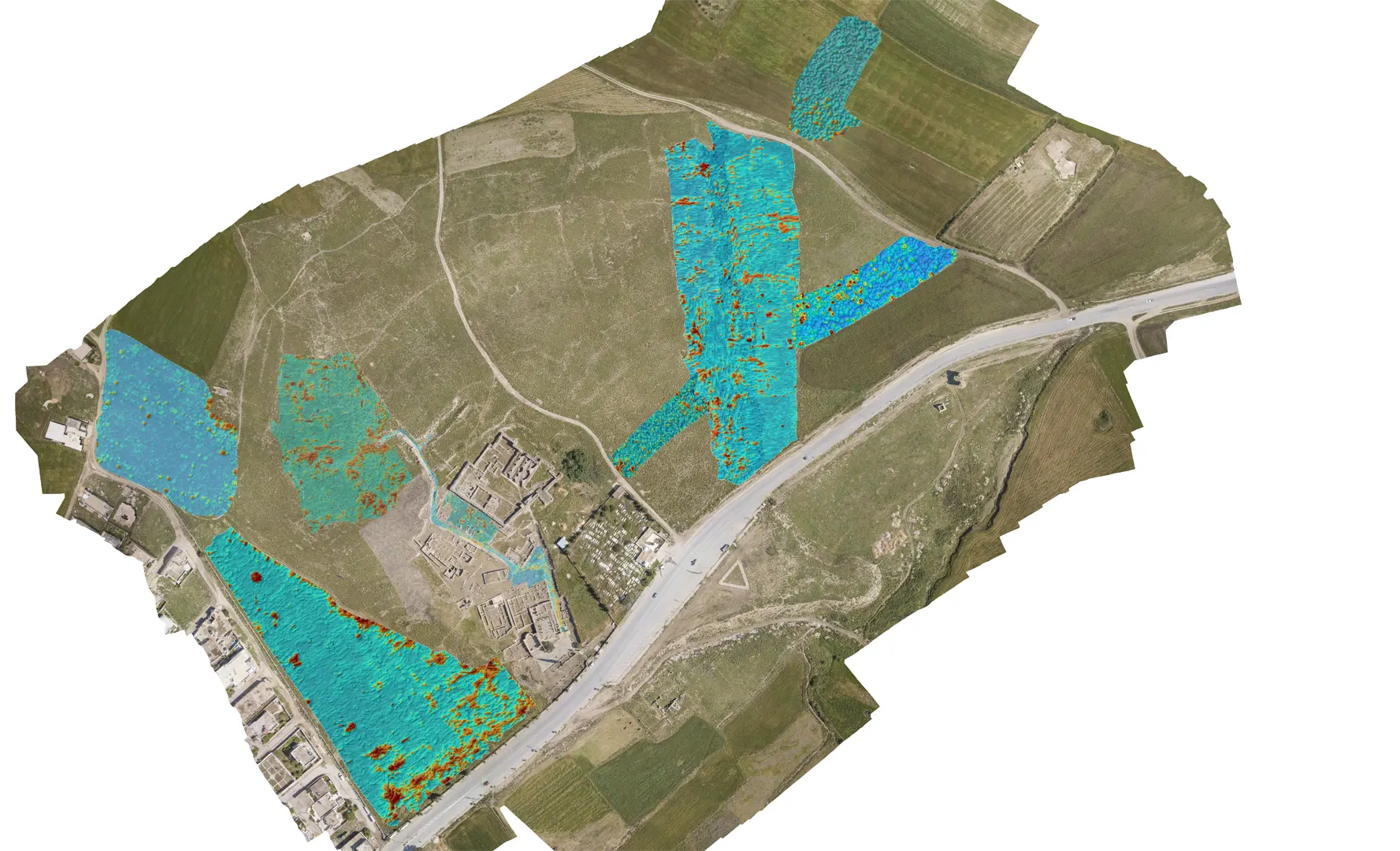
15 Geophysical prospection of the city of Musti
Geophysical prospecting, using magnetic and electromagnetic methods (GPR, electro-resistivity, profiling and ERT - electro-resistivity tomography), carried out in several areas of the city aims to identify the locations of regularly shaped archaeological remains (causing narrow linear anomalies in the distribution of measured values of soil parameters). The geophysical maps can then be linked to plans of the excavated remains still visible on the surface: such data can be used to complete, or even restore, the town-planning of the city.
The use of multiple geophysical prospecting methods enables us to detect and record structures superimposed on several levels, and thus to answer not only the question of where the remains to be sought are located, but also at what depth. Such information is extremely important for rational planning of excavations and subsequent interventions.

